Baspoil
The software module «BaspOil» is a universal tool of analysis of geologic and production information. It has designed to solve problems of development state analysis and to study geological structure of hydrocarbon deposits. It allows taking information from all partitions of data bank BDM: Production, Geology, Hydrodynamic investigation, Well logging, Core salvage, Drilling, Workover actions, Blocks of development and others.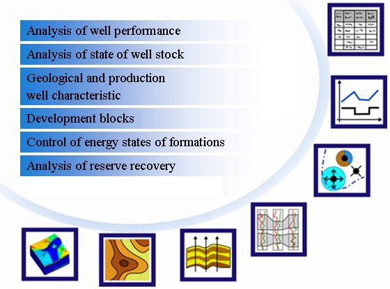
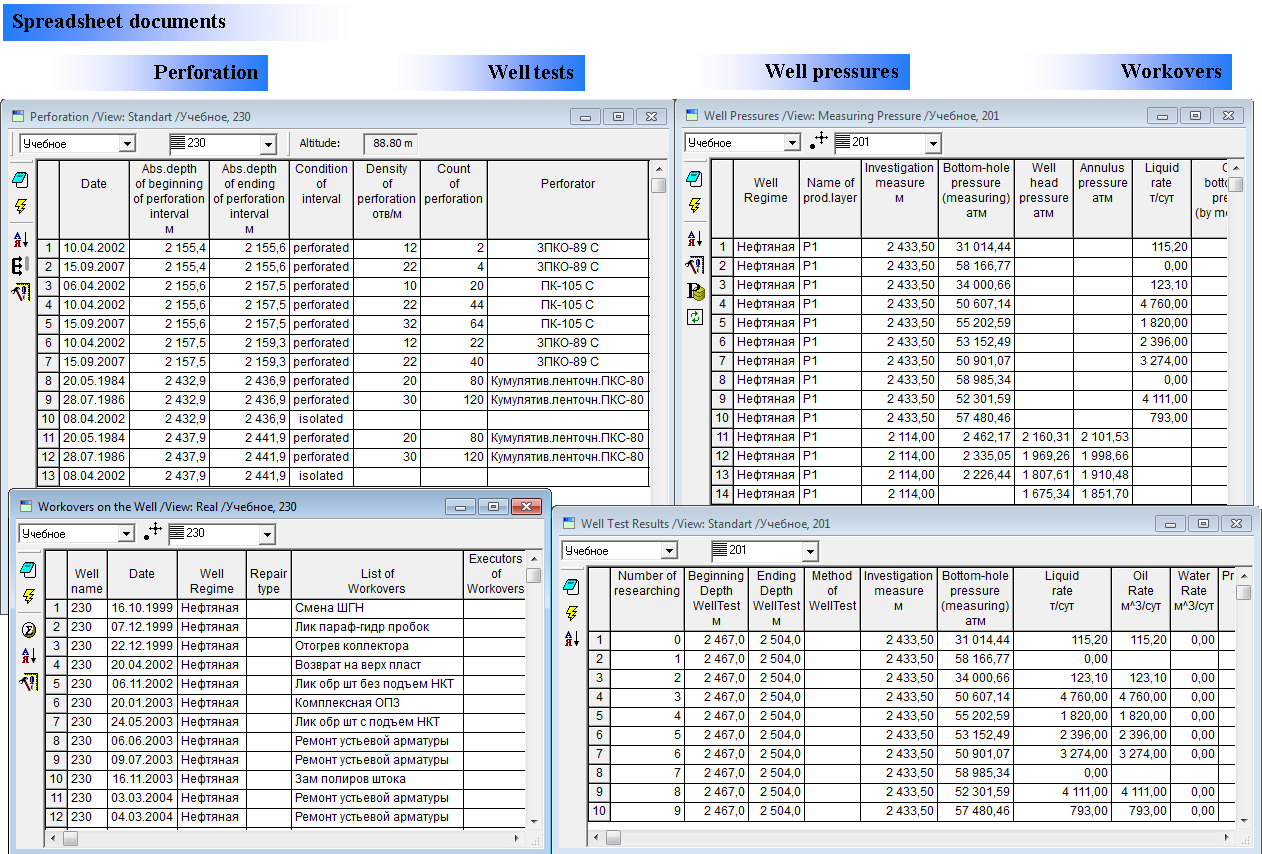
It is possible to visualize information in the form of standard documents: tables, maps, well logs and correlation charts with displaying information from different database partitions.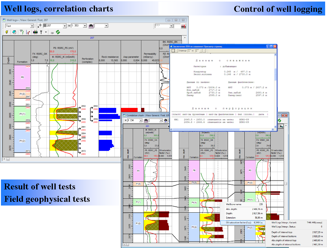
There is support of non-standard document: a multi-document. The multi-document allows displaying several documents in the one window. The multi-document consists of one or several sheets, each of which is divided into cell by vertical and horizontal splitters. The sheet can have from 1 to 4 cells, each of which can contain a document of the software «BASPRO Optima». In cells of the multi-document can be displayed the following kind of information:
- Well positions
- Locations of contours, faults and clay zones
- Surfaces
- Boundaries of formations and estimation objects
- Well logging
- Well logging interpretation results
- Perforation intervals and results of well test
- Production by wells in tabular form and graphically
- Well’s construction: tables «Drillhole survey», «Perforation», etc.
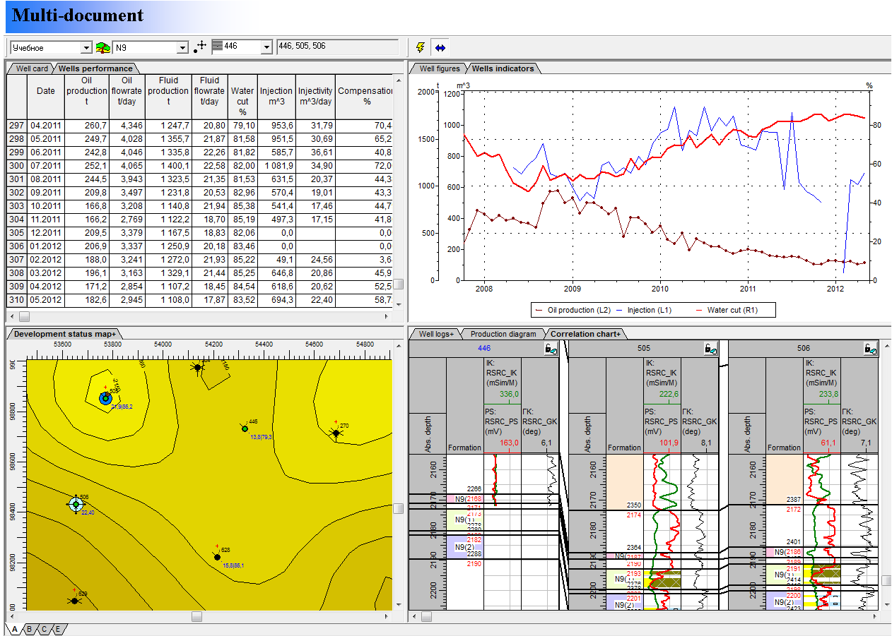
A document «Map» is designed to view of well positions, locations of contours, faults and clay zones, structure maps and others. It is designed to show deep and overlapped structure by using isolines and abs. depth. The «Map» describes general idea of geological structure, tectonic features and other properties of some lot. It allows visualizing coordinates of intersection of well with formations, information layers of wells in the form of circular diagrams, labels and symbols. The document solves a problem of uploading of various elements stored in files or database. Data is obtained by the query to database «BDM Optima». The user can get complete information from the database for each object in the Document «Map» (well, contours, information layers, etc.).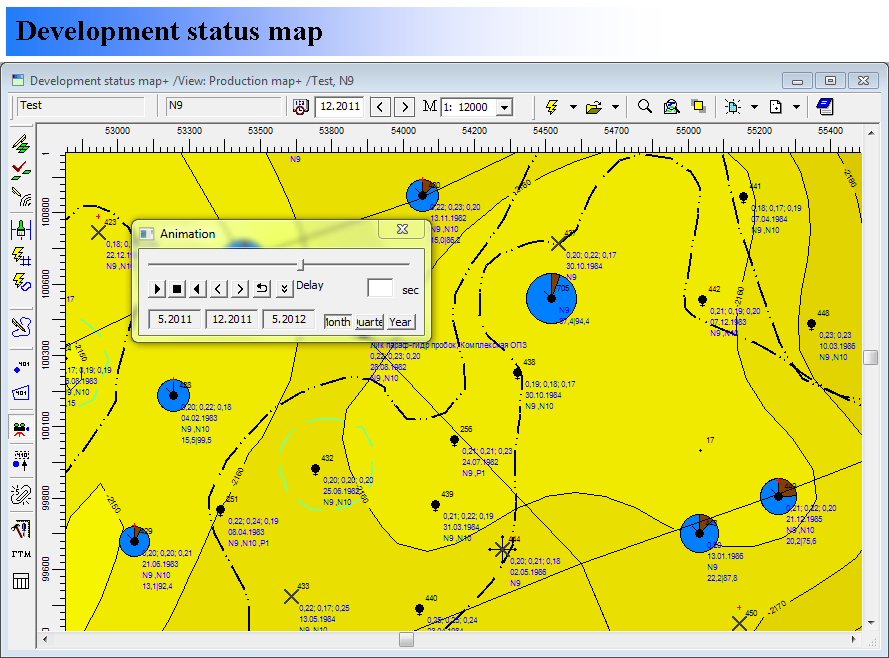
The data sources for the software module «BaspOil» are:
- Corporate data bank (data model «BDM Optima», DBMS Oracle);
- Standard format data files, that are used to store contours, surfaces and scan-images;
- Special format data files, that are used to store system of contours, well parameters, system of project wells, planning workovers and documents of the software «BASPRO Optima».
The software module «BaspOil» also has a system of communications and data exchange with MS Excel.
The software module «BaspOil» is designed to work with text documents and graphic images. It supports the following file formats: *.sf, *.ctr, *.ch, *.rel, *.txt, *.doc, *.las, *.xls, *.lst, *.cml, *.mdb, *.log, *.shp, *.bln, *.cps, *.csv, *.gen, *.bmp, *.jpg, *.gif, *.emf, *.png, *.tiff.